Chain Seven Cantons in Ten Days: The Art of Building a Seamless Swiss Hiking Loop
Most American hikers land in Switzerland with a list of trails they want to hit — the Haute Route, maybe a stretch of the Via Alpina, a classic ridge walk above Grindelwald. What they don't always have is a plan for how those pieces connect. The result? A trip that feels more like a highlight reel than a journey. You bus back to the same hotel every night, retrace yesterday's path to reach tomorrow's trailhead, and spend half your vacation in transit.
Here's the thing: Switzerland's trail infrastructure is almost absurdly well-suited to linked, multi-day loops. The mountain hut network, the PostBus system, and the color-coded Swiss hiking path markers were essentially designed with continuity in mind. With some deliberate planning, ten days can flow like a single unbroken thread across the Alps — no repeated steps, no wasted mornings, just forward momentum.
This is how you build that loop.
Start With Regions, Not Trails
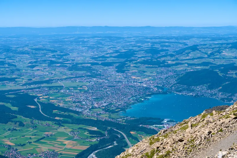
The first mistake most people make is picking trails before picking regions. Switzerland divides neatly into distinct geographic personalities — the dramatic limestone walls of the Bernese Oberland, the quieter meadows of Appenzell, the rugged volcanic character of the Valais, the Italian-inflected warmth of Ticino. Each one hikes differently, looks different, and feels different underfoot.
For a ten-day loop, you want three to four regions maximum. That gives you enough variety to stay visually and physically engaged without spending half your trip on trains between wildly disconnected starting points. A strong backbone for a US hiker new to multi-day Swiss adventures might look like this: begin in the Bernese Oberland, push east into Graubünden, drop south through the San Bernardino Pass corridor into Ticino, and arc back west via the Valais. You've just sketched a rough loop covering four cantons with logical geographic transitions between each.
Use Elevation as Your Narrative Arc
Think of your ten days like a story with pacing. If you hit your highest, most demanding terrain on day two, the rest of the trip risks feeling anticlimactic. Experienced loop-builders in Switzerland tend to structure their itineraries with a gradual elevation build through the first half, a high-point climax around days five or six, and a more moderate descent — both literal and figurative — through the back half.
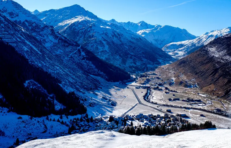
For practical purposes, this might mean starting with valley-to-alp transitions in the 3,000-to-6,000-foot range, progressing toward passes and ridgelines above 8,000 feet in the middle days, then returning to lower-elevation forest and meadow trails as you close the loop. Your legs will thank you. So will your appetite for scenery — you won't burn out on dramatic alpine vistas before the trip's halfway point.
A sample elevation sequence worth considering: Day 1 from Grindelwald toward First (roughly 7,100 feet), building through the Grosse Scheidegg and Rosenlaui Valley, cresting toward the Sustenpass region by day four, then descending into the Maggia Valley in Ticino before the final push back through the Rhône Valley corridor.
Mountain Huts Are Your Secret Infrastructure
For American hikers accustomed to backcountry camping, the Swiss hut system is genuinely revelatory. SAC (Swiss Alpine Club) huts are positioned throughout the Alps at intervals that make overnight-to-overnight hiking not just possible but comfortable. You don't need to carry a tent, a stove, or three days of food. You need a reservation (book well ahead for summer, especially July and August), a sleeping bag liner, and a positive attitude about communal dining.
More importantly for loop-building, huts function as natural connectors between trail segments that might otherwise feel unlinked. The Gelmer Hut above Handegg connects Bernese trails heading east toward Uri. The Capanna Cadagno in Ticino sits at a crossroads between Val Piora and the Lucomagno Pass route heading back north. Identifying these connector huts during your planning phase is often more important than identifying the trails themselves — the trails will reveal themselves once you know where you're sleeping.
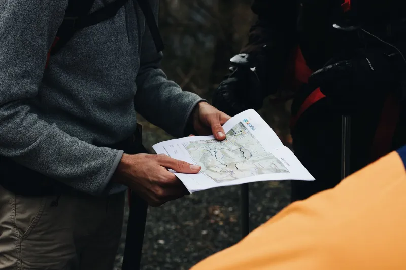
A practical tip: map your hut-to-hut distances before anything else. Aim for stages between four and seven hours of hiking time. Shorter than that and you're paying for a bed you barely earned. Longer and you risk arriving after dinner service, exhausted and irritable.
Factoring in the PostBus Without Cheating Yourself
Here's a nuanced point that separates good loop-builders from great ones: knowing when to use public transit without letting it undermine your sense of continuity. Switzerland's PostBus network reaches valley towns and even some mid-mountain villages with remarkable frequency. There will be moments in your ten-day loop where a 20-minute bus ride replaces a two-hour road walk along a highway shoulder with no trail value whatsoever.
Take the bus. There's no prize for road-walking.
The key is distinguishing between trail gaps that are genuinely uninteresting (valley floor transit corridors, industrial stretches near larger towns) and trail gaps that are simply hard. Don't bus around difficulty. Do bus around boredom. Your loop should feel earned, but it shouldn't include miles that exist purely as connective tissue with nothing to offer.
A Sample Ten-Day Backbone
Here's a rough framework you can adapt based on fitness level and interest:
- Days 1–2: Bernese Oberland — Grindelwald to Grosse Scheidegg, overnight at Schwarzwaldalp
- Days 3–4: Uri Alps — Susten Pass crossing, overnight at Tierbergli Hut
- Day 5: Gotthard region — descend toward Airolo, entry into Ticino
- Days 6–7: Ticino — Val Piora traverse, overnight at Capanna Cadagno
- Day 8: Lucomagno Pass, cross back into Graubünden
- Days 9–10: Upper Valais arc — descend via Binntal Nature Reserve back toward the Bernese foothills
This loop covers roughly 90 to 110 miles of trail depending on your exact route choices, with total elevation gain somewhere in the 25,000-to-30,000-foot range across the full ten days. It's ambitious but manageable for a reasonably fit hiker who's done multi-day backpacking in the US — think the John Muir Trail pace, not the Appalachian Trail grind.
The Planning Mindset That Makes It Work
The biggest shift American hikers need to make when planning a Swiss loop isn't logistical — it's psychological. In the US, long-distance hiking often means isolation, self-sufficiency, and distance from infrastructure. In Switzerland, the infrastructure is the point. The huts, the trail markers, the train connections at valley floors — these aren't crutches. They're the system that makes a ten-day loop across multiple mountain ranges genuinely achievable for someone with a finite vacation window.
Lean into it. Book your huts early, download the SchweizMobil app for offline trail maps, and give yourself one flex day somewhere in the middle of the trip. Weather in the Alps is real, and a rest day in a village with a good cheese counter is never a bad outcome.
When you step off that final trail on day ten and realize you've crossed cantons, languages, and mountain ranges without once doubling back — that's when it clicks. Switzerland isn't a collection of great hikes. It's one great hike, waiting for someone to connect the dots.