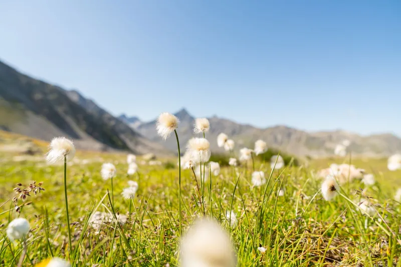
When the Sky Breaks Loose: Chasing Alpine Thunderstorms on Switzerland's Wildest Trails
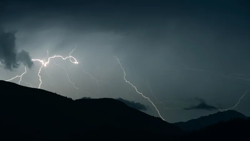
There's a moment — and if you've ever been caught near a Swiss alpine ridge when a summer storm rolls in, you know exactly what I'm talking about — when the air goes electric and the mountains stop feeling like a backdrop and start feeling like something alive. The clouds stack up fast, the wind shifts, and then the whole sky just cracks open.
For most hikers, that's the cue to find shelter. For a growing crew of weather-obsessed outdoor adventurers, it's the whole reason they showed up.
Storm-watching in the Swiss Alps isn't some fringe hobby anymore. Experienced hikers, photographers, and nature chasers — many of them Americans making the trip specifically for this kind of experience — are mapping out trails, studying forecast patterns, and positioning themselves for front-row seats to some of the most dramatic weather events in the world. And Switzerland, with its towering peaks, deep valley corridors, and volatile summer convection, delivers those events in spectacular fashion.
But let's be real upfront: this is not a casual pursuit. Alpine thunderstorms are genuinely dangerous, and the margin for error in the mountains is thin. The goal here isn't recklessness — it's informed, intentional adventure.
Why Swiss Alps Thunderstorms Hit Different
If you've only ever watched a storm roll across the Great Plains or light up a Florida afternoon, Swiss alpine thunderstorms will recalibrate your sense of scale entirely. The combination of high-altitude terrain, rapid convective heating during summer months, and the way cold air masses funnel through mountain passes creates storm systems that are both visually stunning and meteorologically intense.
Thunderstorms in the Alps tend to build fast — often within 30 to 90 minutes on a clear summer afternoon — and they bring with them lightning that illuminates entire ridgelines, hail that comes in sideways, and thunder that bounces off cliff faces and rolls through valleys for what feels like forever. The acoustics alone are worth the trip.
June through August is peak storm season, with afternoon convection typically firing up between 1 p.m. and 4 p.m. on warm, humid days. Swiss MeteoSwiss (Switzerland's federal weather service) provides detailed forecasting, including thunderstorm probability maps that serious storm-watchers check obsessively.
The Trails Worth Knowing
Schynige Platte to Faulhorn Ridge (Bernese Oberland) This is the trail that comes up again and again in conversations with experienced Swiss storm-watchers. The ridge walk between Schynige Platte and Faulhorn sits at around 2,680 meters and offers sweeping sight lines across the Eiger, Mönch, and Jungfrau massif. When storms build over those peaks, you're watching them develop from a position that feels almost cinematic. The key is reaching Faulhorn early — by 10 a.m. — so you're already set up and watching rather than hiking when things start to pop.
Niederhorn Above Beatenberg (Lake Thun Region) A more accessible option for hikers who want dramatic storm views without committing to a full alpine expedition. The plateau above Beatenberg gives you wide-open sky exposure and direct views toward the high peaks where storms typically originate. Local hikers treat this spot as a reliable storm-watching perch precisely because of how unobstructed the horizon is.
Piz Nair Area (Engadine Valley) In the eastern Alps, the Engadine's dry, high-altitude climate creates a different kind of storm drama — less frequent, but when they hit, visually extraordinary against the rocky, treeless terrain. The gondola access here also means you can ascend quickly in the morning and descend fast if conditions deteriorate, which matters a lot when you're making real-time weather calls.
The Safety Framework — Non-Negotiable
Here's where we have to get serious for a minute, because the difference between a transcendent experience and a dangerous one is almost entirely about preparation.
Rule one: never be on an exposed ridge when lightning is active. This sounds obvious, but the seductive pull of getting a better view is exactly how people end up in bad situations. Your storm-watching position should always have a clear, fast route to lower ground or substantial shelter — a mountain hut, a dense forest, a valley floor.
Start early, descend early. Most experienced alpine storm-watchers operate on a hard turnaround rule: if you're not heading downhill by noon or 1 p.m. on a high-convection day, you're gambling. The storms that catch people out are almost always the ones that built faster than expected.
Learn to read the sky. Cumulus towers that are growing vertically (what meteorologists call towering cumulus or TCu) are your warning signal. When those flat-bottomed, cauliflower-top clouds start stacking up aggressively, you've got maybe 45 minutes before things get serious. Download a cloud identification guide before your trip — it sounds nerdy, but it genuinely changes how you interpret what you're seeing.
Gear that matters: A quality rain shell is obvious, but don't overlook a lightweight emergency bivy, a fully charged GPS device, and — critically — a portable weather radio or a data connection that can pull live MeteoSwiss radar. Several US hikers we spoke with swore by the MeteoSwiss app, which pushes storm warnings directly to your phone with impressive accuracy.
What It Actually Feels Like
Ask anyone who's done it right and they'll tell you the same thing: the build-up is almost as good as the storm itself. You're sitting on a ridge, the sun is still out, and you're watching these massive cloud formations develop over peaks that are 40 kilometers away. The light gets strange — that particular greenish-yellow quality that storm chasers back in the Midwest know well. The wind drops completely for a few minutes. Then the first rumble reaches you, low and distant, and you feel it as much as hear it.
One hiker from Colorado who'd done three storm-watching trips in the Bernese Oberland described it this way: "Back home, you watch storms from a distance on flat ground. Here, you're at the same elevation as the storm. You're not looking at it — you're inside the edges of it. It's completely different."
That's the draw. That's what keeps people coming back.
Planning Your Trip
For US travelers, the sweet spot for storm-watching is mid-July through mid-August, when convective activity peaks and the days are long enough to give you plenty of morning hiking time before afternoon storms develop. Book accommodations in valley towns like Grindelwald, Interlaken, or St. Moritz so you have flexibility to choose your trail based on the day's forecast rather than committing too far in advance.
Learn a few words of German or French — the trail signage is excellent in Switzerland, but chatting with local mountain hut operators about recent weather patterns is genuinely valuable intelligence that no app can replicate.
And go in with the right mindset: you're not just chasing a spectacle. You're learning to read a landscape that has its own rhythms, its own logic. The storms are part of that. So is knowing when to watch and when to walk away.
Swiss mountain weather doesn't negotiate. But for those willing to meet it on its own terms — prepared, informed, and deeply respectful of what it can do — it offers something you simply can't find anywhere else.